

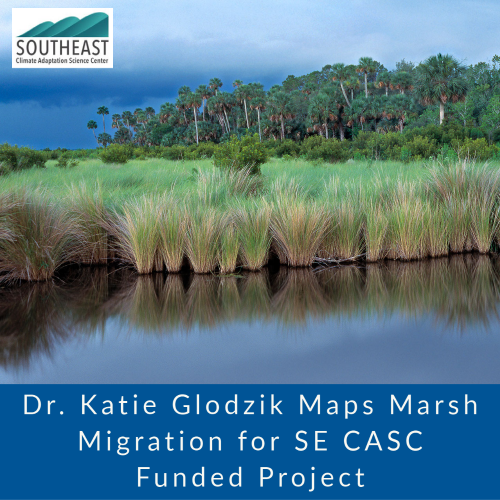
Dr. Katie Glodzik, a 2013 Water Institute Graduate Fellow and former Postdoctoral Associate at UF (Advisor Dr. Mark Clark), completed an ecosystem services mapping project funded by the Southeast Climate Adaptation Science Center (SE CASC) in collaboration with the Water Institute, a Consortium University of SE CASC.
Glodzik’s project, “Facilitating Marsh Migration Datasets for Florida,” assessed impacts of sea level rise scenarios on ecosystem services provided by salt marsh and coastal forest habitat along Florida’s Gulf Coast and conveyed results using an ArcGIS StoryMap. Glodzik mapped areas where salt marsh migration inland could occur under different sea level rise scenarios, thus potentially avoiding or reducing loss of salt marsh ecosystem services. She found that salt marsh along the Big Bend area of Florida is among the most climate resilient areas of the entire US Gulf of Mexico due primarily to low development, which facilitates the space and connectivity needed for migration inland. Glodzik shared her findings, which can be used to inform coastal management plans, with the Lower Suwannee River National Wildlife Refuge and other agencies.
Glodzik’s Story Map and Project Summary can be found here, along with other Consortium University ecosystem services mapping case studies.
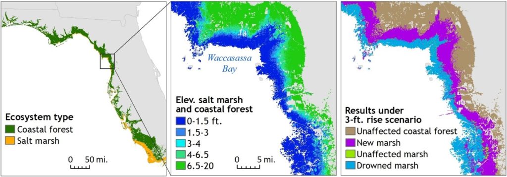
Example of Florida Gulf Coast marsh migration under a 3-foot sea level rise scenario.
November 8, 2021