
Thank you for those who participated in the UF Water Institute’s 2020 Photo Contest! We received beautiful photos representing a wide variety of UF water-related research, education and outreach programs and had a very difficult time narrowing it down to five winners. The winners will each receive a $100 prize. All photo entries may be used on UF Water Institute’s websites, printed materials, and social media accounts. A photo credit will be given whenever a photo is used for these purposes.
The UF Water Institute’s 2020 Photo Contest Winners are:
|
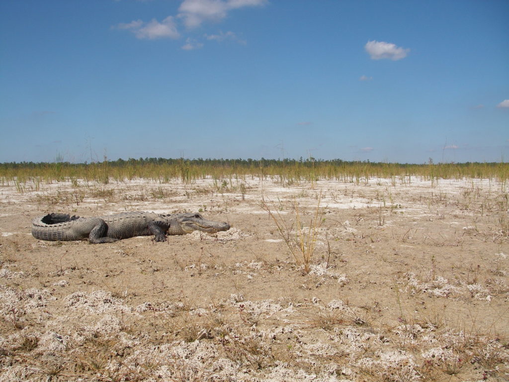
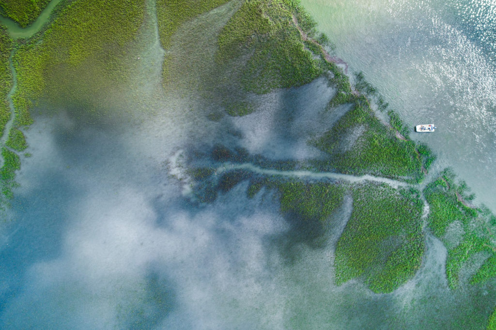
Sergio Gonzalez “Getting the water “right” has major implications downstream. Helping to provide water managers with data on the impacts of management decisions (or what could happen under certain conditions) is critical to preserving wilderness and wildlife, providing fresh water for human needs, mitigating flood events, and reducing the recurrence of harmful algal blooms. This is the southern Everglades under extreme drought conditions.” |
|
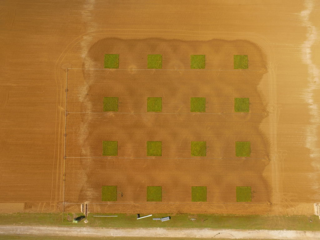
Young Gu Her, Ph.D. |
|
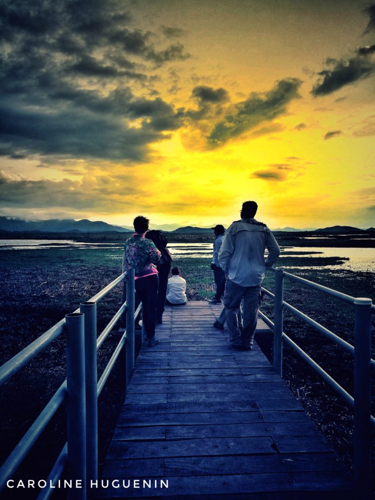
Caroline Huguenin |
|
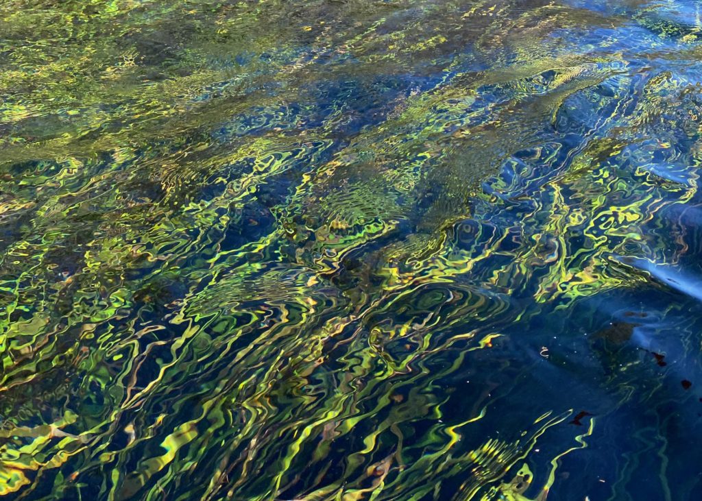
David Kaplan, Ph.D. |
|
Daniele Pinton |